What desktop topo software do you use?
Elk
I am looking for what software you use for seeing topo maps on a destop computer. I am looking for free or pay software. I have the OnXmaps gps chips for all the states I need but want to see topo maps a lot bigger on my home desktop.
I am running Windows 10. I have old Maptech Terrain Navigator (NOT pro) cd's but I do not think I can do anything to make them work. I have heard Ideas?
I use either OnX or the map overlays from Top Rut which is free and it's unit specific.
Skip over the mediocre stuff and go straight to google earth pro. Add earthpoint topo layer, then add either toprut's overlays or find someone who has the old huntinggpsmaps "plat4GE" overlays that will have public and pvt land ownership.
Google Earth pro is the best on your computer. I have the file for the land ownership and units that someone on bowsite made a long time ago. My PC is packed up right now, but I can get it in a couple weeks.
Google Earth Pro for desktop...and I correlate waypoints with GAIA for when I'm mobile.
Here is the USGS topo layer gohunt is using. A little different look than the topo from earthpoint. Download the kmz to your pc then open in GE or open directly. This is a server service and will require internet. This is a combo of all their layers; topo, hydrology, shaded relief, and transportation.
https://basemap.nationalmap.gov/arcgis/rest/services/USGSTopo/MapServer/kml/mapImage.kmz
ElkMG can you elaborate on your statement about correlating waypoints with the GAIA app when you're mobile?
Don, I too have terrain navigator and could not get it run on the new windows 10, so I bought a Panasonic toughbook with windows 2000. It runs fine on that, and the laptop was cheap, Less than $100. Take it my truck and with a GPS hooked to the serial port it is a moving map too.
Terry
I use Basemap. I have it on my phone and desktop. everything syncs..
I have a Garmin Inreach. That uses the Garmin Explorer App on the Desk top. However, the map there is 100k. It syncs with the Earthmate app on my phone. I can download the USGS 24k maps to my phone. The problem is you need a Garmin GPS of some type. The newer ones (not the inreach) sync to Garmin Explore app on the phone. Great tool to lay out routes and waypoints, and manage your data. Another option would be to go straight to the USGS website and download maps from there. There are a variety of maps from the 100k, quads, 24ks and more. You can download a copy of the maps free. If you want paper, like me, it's $8 for a 7 minute 24k maps (they now call it "historical"-imagine that).
I have a Garmin Inreach. That uses the Garmin Explorer App on the Desk top. However, the map there is 100k. It syncs with the Earthmate app on my phone. I can download the USGS 24k maps to my phone. The problem is you need a Garmin GPS of some type. The newer ones (not the inreach) sync to Garmin Explore app on the phone. Great tool to lay out routes and waypoints, and manage your data. Another option would be to go straight to the USGS website and download maps from there. There are a variety of maps from the 100k, quads, 24ks and more. You can download a copy of the maps free. If you want paper, like me, it's $8 for a 7 minute 24k maps (they now call it "historical"-imagine that).
"ElkMG can you elaborate on your statement about correlating waypoints with the GAIA app when you're mobile"?
I usually do my "virtual scouting" on my desktop on GE, because I can see contours better in Satellite mode, with the map laid out to show the terrain. I'll mark spots, and then go to GAIA on my desktop, and mark those waypoints. When I download the maps on my phone, the waypoints will be there.
I actually prefer Satellite maps when I'm out and about, because I can see "breaks" in the timber, to help me get around. But, I download topo maps overlays, and private land overlays as well in GAIA.
I would export your tracks, areas, and waypoints out of google earth and import into onX/gaia/etc.
"I would export your tracks, areas, and waypoints out of google earth and import into onX/gaia/etc".
I used to save GE Maps as .kmz files, and import them into my Garmin units. Sometimes they didn't exactly correlate. Is there a way, to just export waypoints and tracks, without saving the entire maps?
easily;
right click on the individual track/waypoint, then "save place as", then change file type to KML and save
for multiples, create a new folder, drop in the items you want to bulk export into said folder, right click on the folder and again "save place as", changing the file type to KML.
import the KML into onX or other mapping program "web map"
I used to use something called TopoUsa I think. It was Delorme. I liked the option of clicking a start point and end point on a trail or road and getting the mileage, profile and even 3D. I have not found anything to replace it. Recommendations welcome.
GE Pro and the Earthpoint Topo layer. Earthpoint are the actual USGS topos.
Thanks! Google Earth pro it is!
bruse- GAIA will do what the old Delorme TopoUSA will do regarding mileages and profile.
Onx or USGS or both. I take notes and cross-reference. Then load coords on onx.
The topo server link I posted 3 years ago still works although it is the ustopo version. I use Earthpoint topo server myself. Download by clicking the "view on google earth" link then open the file in your GE Pro.
Link; https://www.earthpoint.us/topomap.aspx
The link isn't working, it's missing the http://www. prefix. You can copy n paste the address below or click the link and "open in new window" then click in the address bar and hit enter to get it to work. sorry about that.
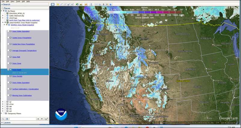
http://www.nohrsc.noaa.gov/snow_model/GE/latest_nohrsc_nsm.kmz
use the usual mapping apps but on my ipad, screen is plenty big for detail work studying a unit(s).
Gaia and onx.
Google earth pro with free USGS topo overlay. I have and use ONX too, but for just scouting around I go to Google Earth first.