
gmu 14
Contributors to this thread:Colorado
From: wvbownut
16-Feb-20
We are going to try a new area to hunt elk this September. We are going to gmu 14 near hahn's peak. Is there any place I can go to find the trailheads in the unit? Also if you have any information that can help us can you please send me a private message. thanks West Virginia bunch.
From: kentuckbowhnter
16-Feb-20
try the cotrex app.
From: starbux
16-Feb-20
Onyx maps will show roads and trails
From: Sawdust
17-Feb-20
From: Jaquomo
17-Feb-20
DIY hunting maps/chip will show the old logging roads and closed roads and trails that OnX doesn't show. The GAIA app is very useful too, for downloading topos and satellite maps to use offline when you don't have cell service.
From: Quinn @work
18-Feb-20
Let me know if you have a couple guys and want to hunt private in 214 across the road. It looks like I won’t be able to use our lease this year for the 3rd week of archery. Looking to fill our spot for the rancher. PM me.
From: Quinn @work
18-Feb-20
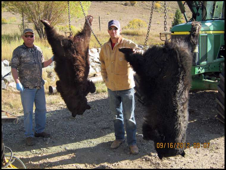
Also if you have a few guys who want to take advantage of the "add on bear tag" we are overrun with bears. :)

